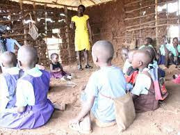
Asal and hard areas are regions with poor social amenities.ASAL is a symbol for Arid and Semi-Arid Lands. This involves poor roads, poor means of transport, inadequate portable and safe-drinking water, non-functional electricity, and others. Those areas have schools and teachers must be posted to teach. Teachers will experience hard times while delivering content and their employer expects them to perform well regardless of the challenges and difficulties they experience.
The list of arid and semi-arid areas as per tsc
Counties |
Sub-County |
|
Baringo |
Baringo-North |
|
Taity-West |
|
|
Taity-East |
|
|
Garissa |
All |
|
Isiolo |
All |
|
Kwale |
All |
|
Mandera |
All |
|
Lamu |
All |
|
Marsabit |
All |
|
Samburu |
All |
|
Taita-Taveta |
All |
|
West-Pokot |
All |
|
Turkana |
All |
|
Wajir |
All |
|
Tana River |
All |
|
Narok |
Narok North |
|
Narok South |
|
|
Kitui |
Mumoni |
|
Mutitu-North |
|
|
Tseikuru |
|
|
Homa-Bay |
Suba |
|
Mbita |
|
|
Kajiado |
Mashuuru |
|
Loitoktok |
|
|
Kajiado West |


No comments:
Post a Comment